|
LIEN VERS LA PAGE WEB EN FRANÇAIS Atmospheric
Transport and Dispersion Modelling Canadian
Multiscale Wildland Fire Smoke Transport Forecast System for
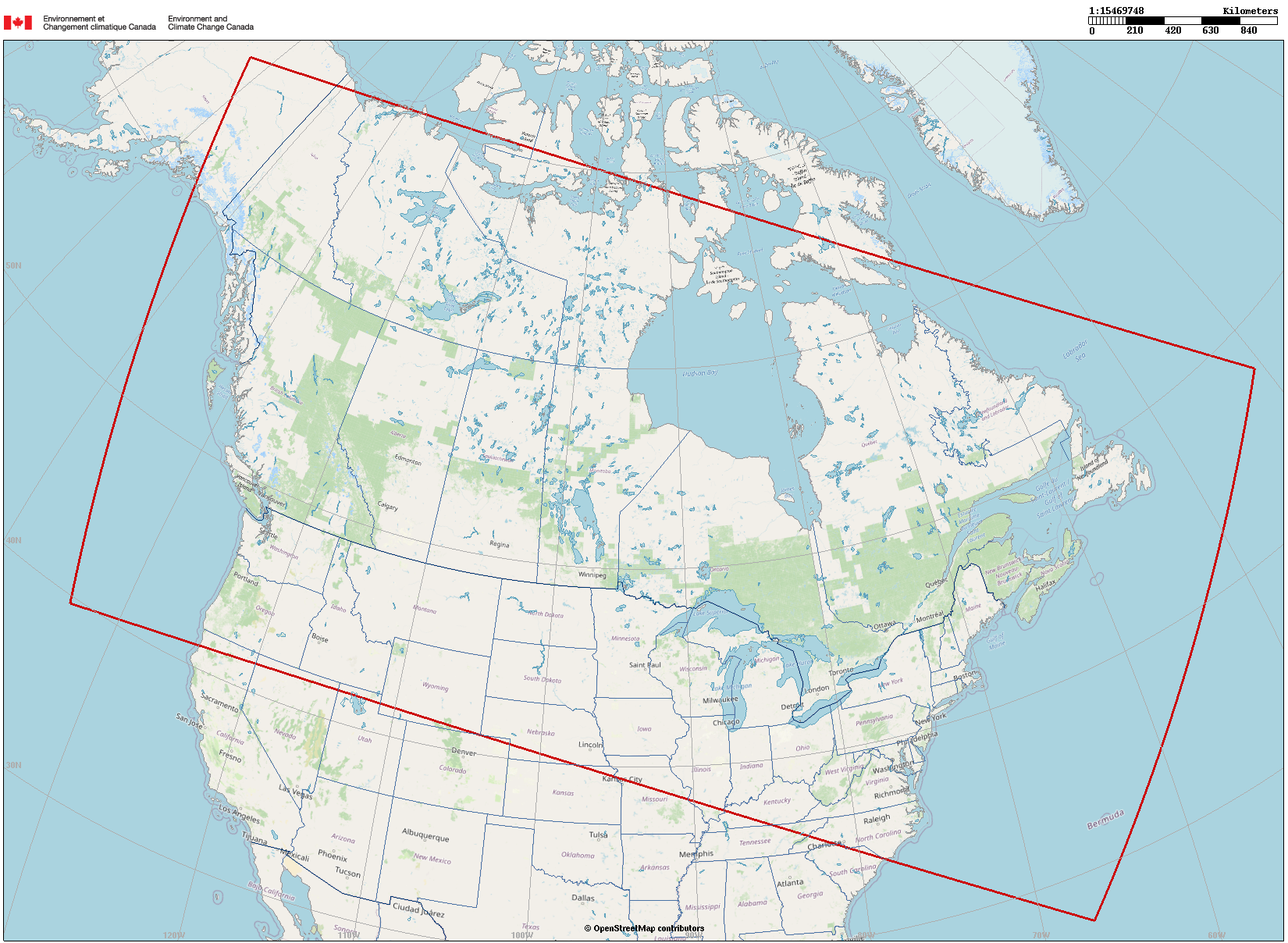
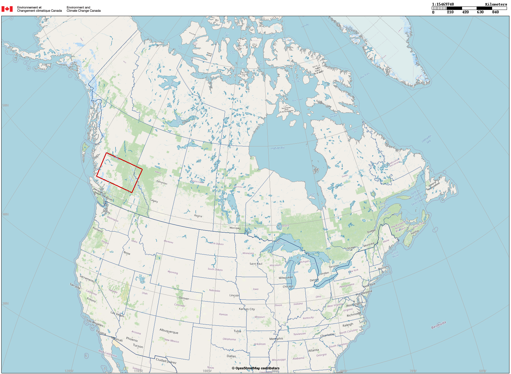
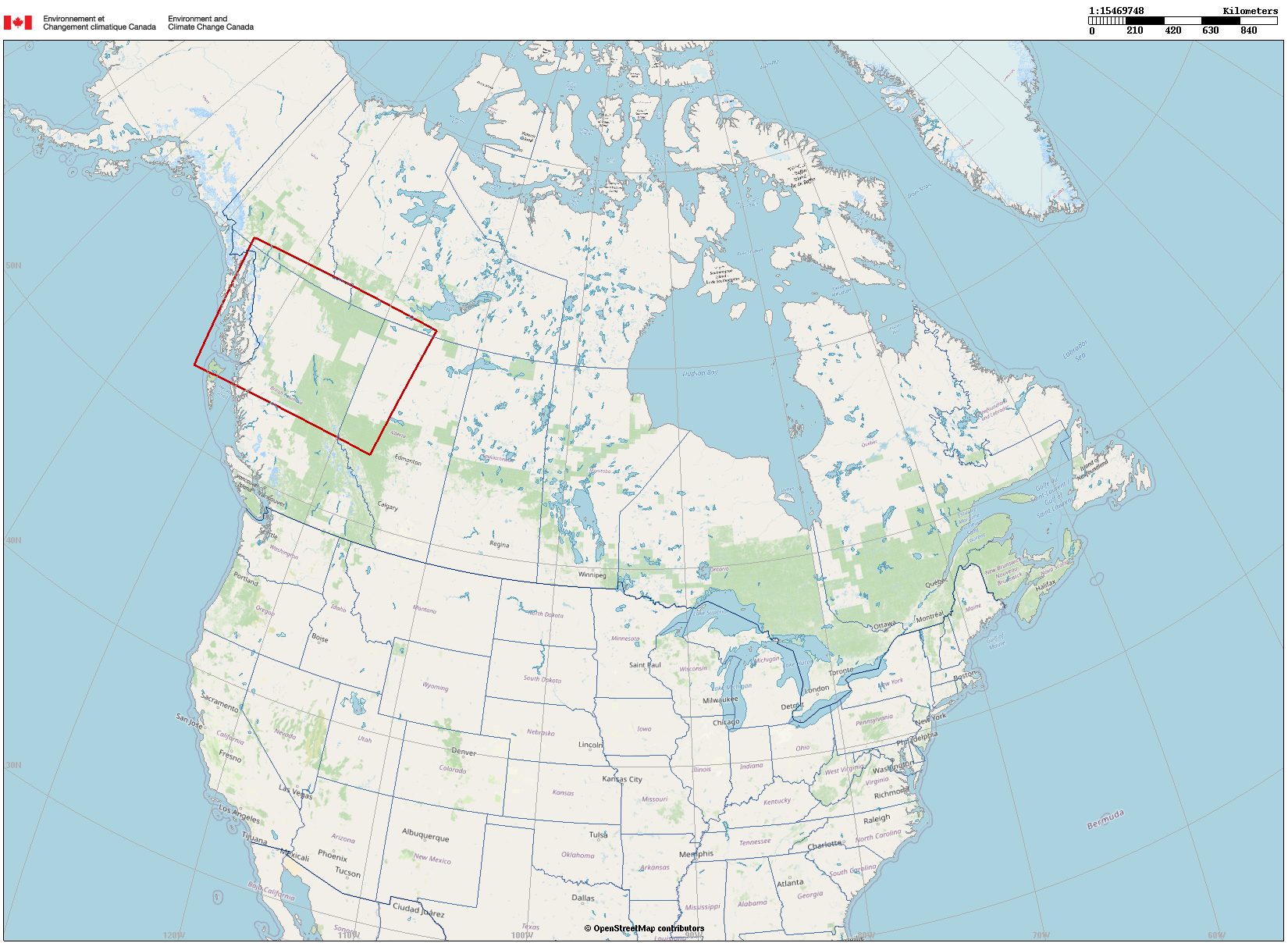
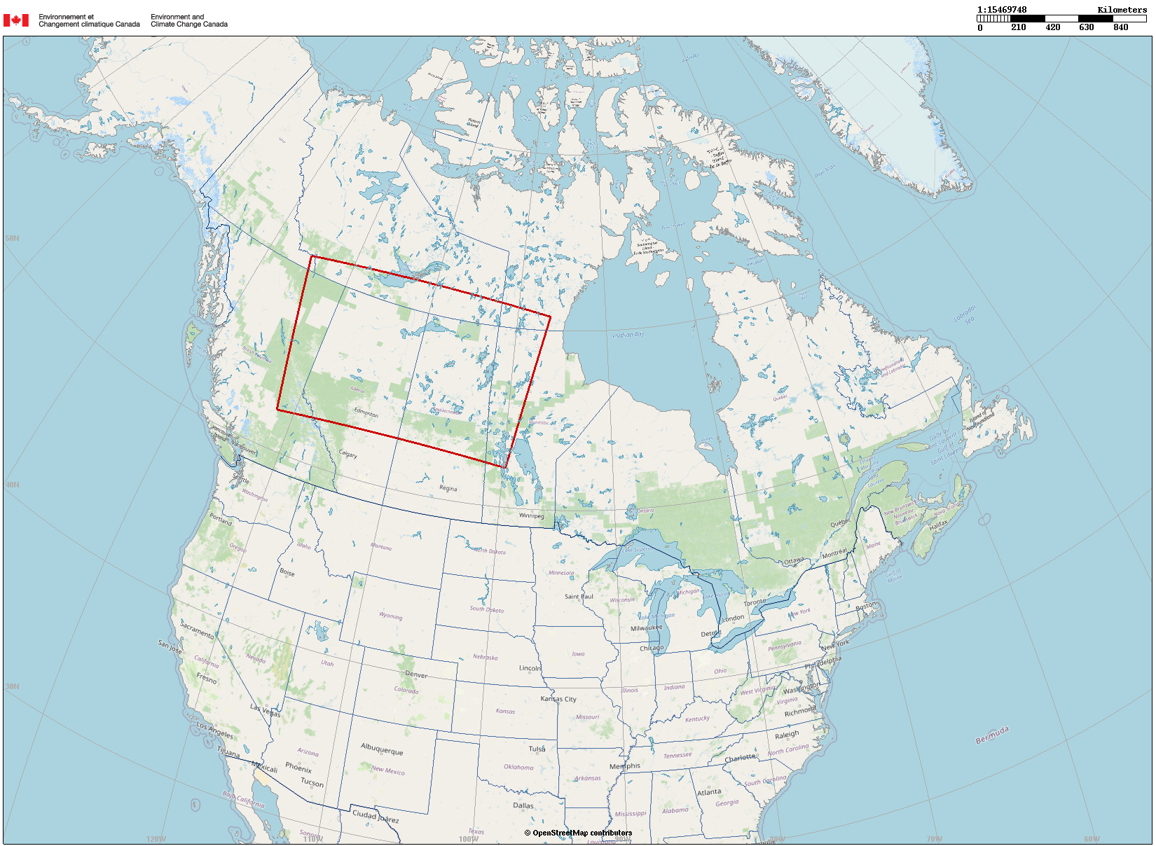
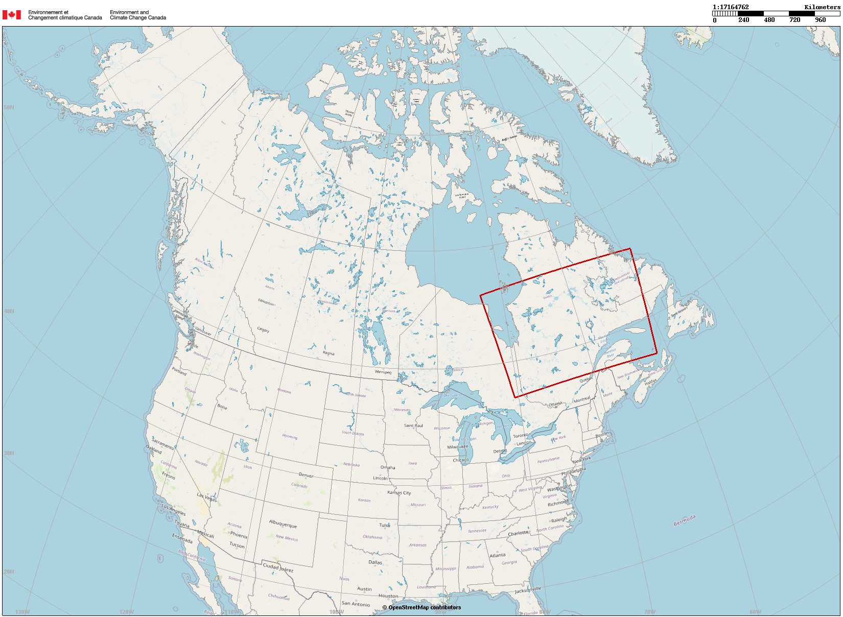
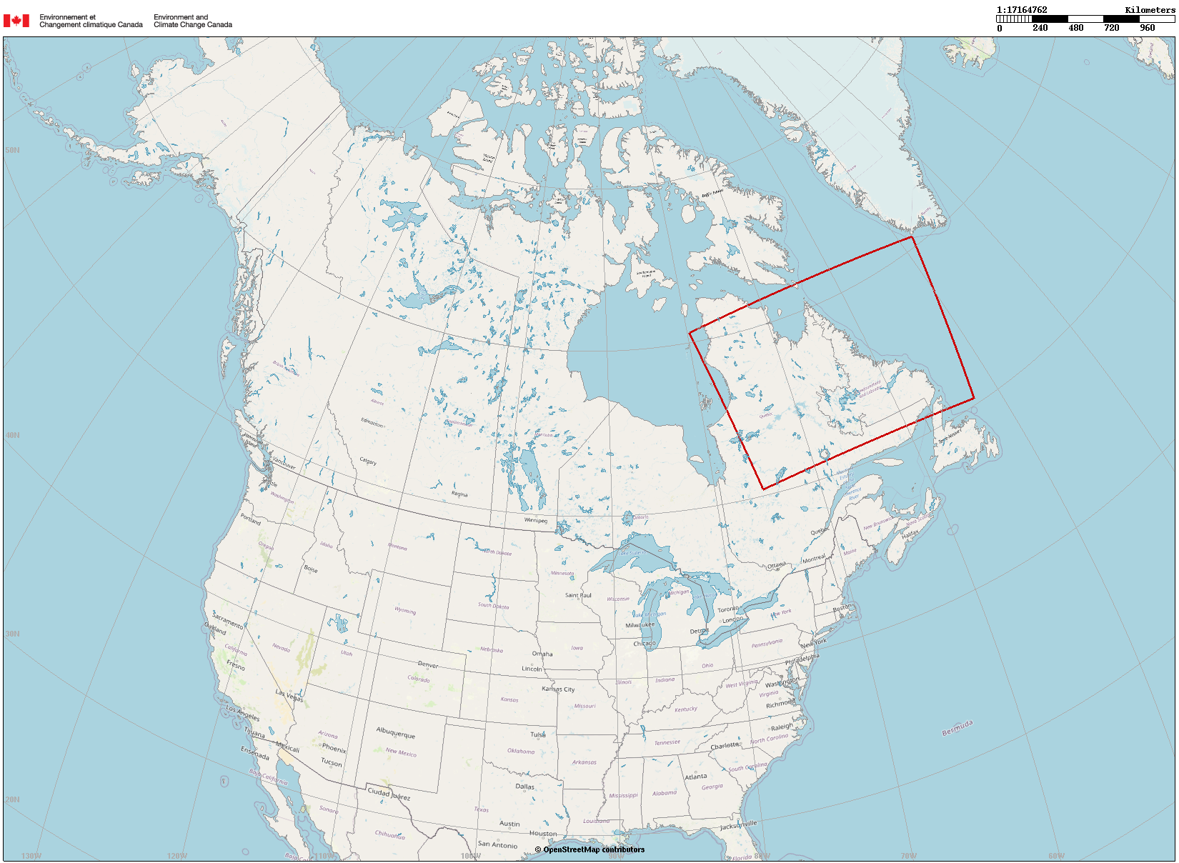
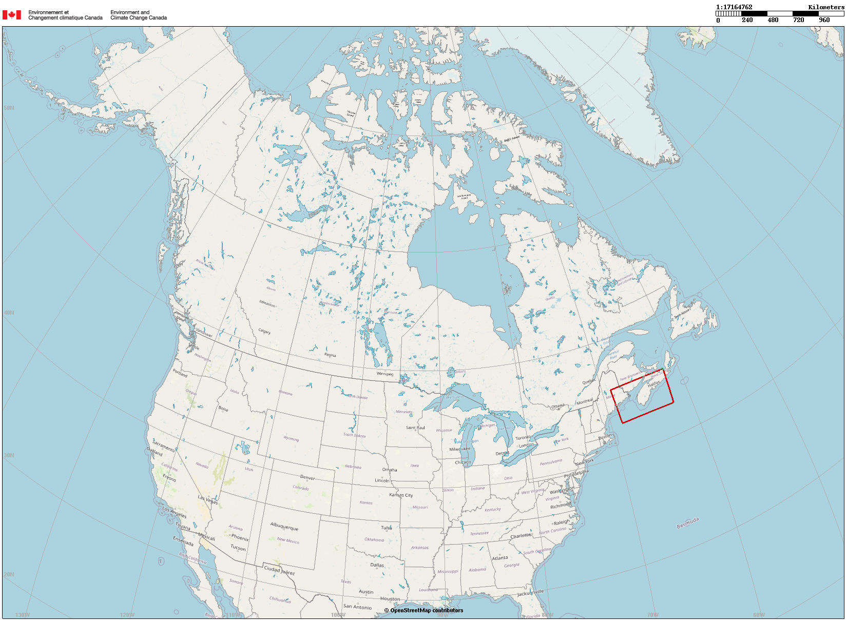
Environmental Emergency Response in Canada Experimental System Technical Documentation MODELLING PARAMETERS The atmospheric
transport and dispersion modelling simulations for wildland (forest, grass,
bush, peat) fire smoke are produced automatically based on the emission
scenario given in the table below.
INFORMATION ON PRODUCTS These products are published by the Canadian
Meteorological Centre’s (CMC) Environmental Emergency Response Section (EERS)
and are updated four times a day in synchronization with the latest
meteorological forecasts of the High Resolution Deterministic Prediction
System (HRDPS) at a 2.5 km horizontal grid mesh. These meteorological forecasts drive the MLDP
atmospheric transport
and dispersion model. These simulations are based on the emission
scenario described above in the modelling parameters table for planning and
prevention purposes (e.g. command post establishment, guidance for air and
ground sampling) for emergency management organizations. Red dots
displayed on the maps represent the detected hotspots used in the modelling. Blue dots
displayed on the maps represent main cities. The PM2.5
near-ground (within the SFC-250 m layer) modelled air
concentrations (µg/m3)
are displayed according to the colour bar scale. Modelled smoke
concentrations can vary significantly from one fire to another and from one
simulation to another due to the diurnal cycle, the prevailing meteorological
conditions at the location and time of emission, the fire’s behaviour and the
presence of cloud cover that precludes the detection of hotspots by sensors. The mean
sea-level pressure field is superimposed on the animations. This field is
depicted with isobars (thin solid black lines) every 4 hPa. The low-level
wind field (near the surface, i.e. at 40 m above ground level) is displayed
in the background on the animations and is depicted with thin grey barbs. The
wind speed is expressed in knots. The wind speed scale is displayed in the
lower right corner. The date and time of validity of the
forecast are displayed in the upper left corner and in the time zone of the region (UTC or
daylight saving time). Since the
simulations use high spatial and temporal resolution data, some topographical
effects might be well captured by the dispersion model (e.g. channelling
effects). In some cases, higher resolution data may be required to better
simulate the transport and dispersion of smoke in complex terrain. Authorized users
may request assistance with the interpretation of products by contacting EERS
at CMC. Note that for
each domain: 1) A time animation
of the forecast of PM2.5 concentrations is available and can be
viewed using the anim.html file (for online
visualization). 2) A time animation
of the forecast of PM2.5 concentrations is available and can be
viewed by downloading the zip file (for offline
visualization). 3) Near-ground
modelled PM2.5 concentrations forecast is available by downloading
the georeferenced Shapefile format file (shp.zip).
OTHER AVAILABLE PRODUCTS The Environmental
Data Processing Applications Section (EDPAS) provides additional air quality
products for smoke from forest fires over Canada through the FireWork system:
The Copernicus Atmosphere
Monitoring Service (CAMS) provides additional air quality products for
smoke fires over Canada, such as Particulate Matter (PM2.5)
Forecasts. MAIN FEATURES OF MLDP AND
FIREWORK SYSTEMS The following document describes
the main features of the complementary MLDP and FireWork systems. REMARK High-resolution
products on small geographical domains can be configured differently upon
users’ requests. REFERENCES TO
MLDP MODEL Hoffman, I., Mekarski, P., Botti, A., Yi, J., Malo, A., Cochrane, C.,
Khotylev, V., Kastlander, J., Axelsson, A., Ringbom, A., Moring, M.,
Karhunen, T., Mattila, A., Goodwin, M., Davies, A., Ungar, K., 2024, “Determination
of the source location of anthropogenic radionuclides collected in Finland
and Sweden in June 2020 using a multi-technology analysis”, Journal
of Environmental Radioactivity, 278, 107508, doi:10.1016/j.jenvrad.2024.107508. McLinden, C.A., Griffin, D., Davis, Z., Hempel, C., Smith, J., Sioris,
C., Nassar, R., Moeini, O., Legault‐Ouellet, É., Malo, A., 2024, “An
Independent Evaluation of GHGSat Methane Emissions: Performance Assessment”,
Journal of Geophysical Research: Atmospheres, 129, e2023JD039906, doi:10.1029/2023JD039906. Maurer, C., Galmarini, S., Solazzo, E., Kuśmierczyk-Michulec, J.,
Baré, J., Kalinowski, M., Schoeppner, M., Bourgouin, P., Crawford, A., Stein,
A., Chai, T., Ngan, F., Malo, A.,
Seibert, P., Axelsson, A., Ringbom, A., Britton, R., Davies, A., Goodwin, M.,
Eslinger, P.W., Bowyer, T.W., Glascoe, L.G., Lucas, D.D., Cicchi, S., Vogt,
P., Kijima, Y., Furuno, A., Long, P.K., Orr, B., Wain, A., Park, K., Suh,
K.-S., Quérel, A., Saunier, O., Quélo,
D., 2022, “Third
international challenge to model the medium- to long-range transport of
radioxenon to four Comprehensive Nuclear-Test-Ban Treaty monitoring stations”,
Journal of Environmental Radioactivity, 255, 106968, doi:10.1016/j.jenvrad.2022.106968. Hoffman, I., Malo, A., Ungar, K., 2022, “Uncertainty
and source term reconstruction with environmental air samples”,
Journal of Environmental Radioactivity, 246,
106836, doi:10.1016/j.jenvrad.2022.106836. Williams, C.G., Barnéoud, P., 2021, “Live pine pollen in rainwater:
reconstructing its long-range transport”, Aerobiologia, 37 (2),
333–350, doi:10.1007/s10453-021-09697-5. Hoffman, I., Malo, A., Mekarski, P., Yi, J., Zhang, W., Ek, N.,
Bourgouin, P., Wotawa, G., Ungar, K., 2020, “Mapping
the deposition of 137Cs and 131I in North America
following the 2011 Fukushima Daiichi Reactor accident”, Atmospheric
Environment: X, 6, 100072, doi:10.1016/j.aeaoa.2020.100072. Maurer, C., Baré, J., Kusmierczyk-Michulec, J., Crawford, A.,
Eslinger, P.W., Seibert, P., Orr, B., Philipp, A., Ross, O., Generoso, S.,
Achim, P., Schoeppner, M., Malo, A., Ringbom, A., Saunier, O., Quèlo, D.,
Mathieu, A., Kijima, Y., Stein, A., Chai, T., Ngan, F., Leadbetter, S.J., De
Meutter, P., Delcloo, A., Britton, R., Davies, A., Glascoe, L.G., Lucas,
D.D., Simpson, M.D., Vogt, P., Kalinowski, M., Bowyer, T.W., 2018, “International
challenge to model the long-range transport of radioxenon released from
medical isotope production to six Comprehensive Nuclear-Test-Ban Treaty
monitoring stations”, Journal of Environmental Radioactivity, 192, 667–686, doi:10.1016/j.jenvrad.2018.01.030. Sioris, C. E., Malo, A., McLinden, C. A., D’Amours, R., 2016, “Direct injection of water vapor into the
stratosphere by volcanic eruptions”, Geophysical Research Letters, 43 (14), 7694–7700, doi:10.1002/2016GL069918. Eslinger, P. W., Bowyer, T. W., Achim, P., Chai, T., Deconninck, B.,
Freeman, K., Generoso, S., Hayes, P., Heidmann, V., Hoffman, I., Kijima, Y.,
Krysta, M., Malo, A., Maurer, C., Ngan, F., Robins, P., Ross, J. O., Saunier,
O., Schlosser, C., Schöppner, M., Schrom, B. T., Seibert, P., Stein, A. F.,
Ungar, K., Yi, J., 2016, “International challenge to predict the
impact of radioxenon releases from medical isotope production on a
comprehensive nuclear test ban treaty sampling station”, Journal of
Environmental Radioactivity, 157,
41–51, doi:10.1016/j.jenvrad.2016.03.001. D’Amours, R., Malo, A., Flesch, T., Wilson, R.,
Gauthier, J.-P., Servranckx, R., 2015, “The Canadian Meteorological Centre’s
Atmospheric Transport and Dispersion Modelling Suite”,
Atmosphere-Ocean, 53 (2), 176–199,
doi:10.1080/07055900.2014.1000260. Draxler, R., Arnold, D., Chino, M., Galmarini, S., Hort, M., Jones,
A., Leadbetter, S., Malo, A., Maurer, C., Rolph, G., Saito, K., Servranckx,
R., Shimbori, T., Solazzo, E., Wotawa, G., 2015, “World Meteorological Organization’s Model
Simulations of the Radionuclide Dispersion and Deposition from the Fukushima
Daiichi Nuclear Power Plant Accident”, Journal of Environmental
Radioactivity, 139, 172–184, doi:10.1016/j.jenvrad.2013.09.014. Katata, G., Chino, M., Kobayashi, T., Terada, H., Ota, M., Nagai, H.,
Kajino, M., Draxler, R., Hort, M. C., Malo, A., Torii, T., Sanada, Y.,
2015, “Detailed source term estimation of the
atmospheric release for the Fukushima Daiichi Nuclear Power Station accident
by coupling simulations of an atmospheric dispersion model with an improved
deposition scheme and oceanic dispersion model”, Atmospheric
Chemistry and Physics, 15 (2),
1029–1070, doi:10.5194/acp-15-1029-2015. Health Canada, November 2015, “Special
Environmental Radiation in Canada Report on Fukushima Accident Contaminants –
Technical Report: Surveillance of Fukushima Emissions in Canada March 2011 to
June 2011”, Radiation Protection Bureau, Ottawa, ON, Canada, 122 p, http://publications.gc.ca/site/eng/9.801801/publication.html. D’Amours, R., Mintz, R., Mooney, C.,
Wiens, B. J., 2013, “A modeling assessment of the origin of
Beryllium-7 and Ozone in the Canadian Rocky Mountains”, Journal of Geophysical Research:
Atmospheres, 118 (7),
10125–10138, doi:10.1002/jgrd.50761. Stocki, T. J., Ungar, R. K., D’Amours, R., Bean, M., Bock, K.,
Hoffman, I., Korpach, E., Malo, A., 2011, “North Korean nuclear test of October 9th,
2006: The utilization of health Canada’s radionuclide monitoring network and
environment Canada’s atmospheric transport and dispersion modelling”,
Radioprotection, 46 (6),
S529–S534, doi:10.1051/radiopro/20116803s. D’Amours, R., Malo, A., Servranckx, R., Bensimon, D., Trudel, S.,
Gauthier, J.-P., 2010, “Application of the atmospheric Lagrangian
particle dispersion model MLDP0 to the 2008 eruptions of Okmok and Kasatochi
volcanoes”, Journal of Geophysical Research, 115 (D2), 1–11, doi:10.1029/2009JD013602. ACRONYMS
Last update: 9 June 2025, 18:40 UTC |
|||||||||||||||||||||||||||||||||||||||||||||||||||||||||||||||||||||||||||||||||||||||||||||||||||||||||||||||||||||||||||||||||||||||||||||||||||||||||||||||||||||||||||||||||||||||||||||||||||||||||||||||||||||||||||
|
|
|||||||||||||||||||||||||||||||||||||||||||||||||||||||||||||||||||||||||||||||||||||||||||||||||||||||||||||||||||||||||||||||||||||||||||||||||||||||||||||||||||||||||||||||||||||||||||||||||||||||||||||||||||||||||||
